
North Bank · heritage-place
Baobolon Wetland Reserve
Also recorded as Bao Bolong
A tidal wetland of creeks, mangroves, saltmarsh and savanna between Salikeni and Katchang.
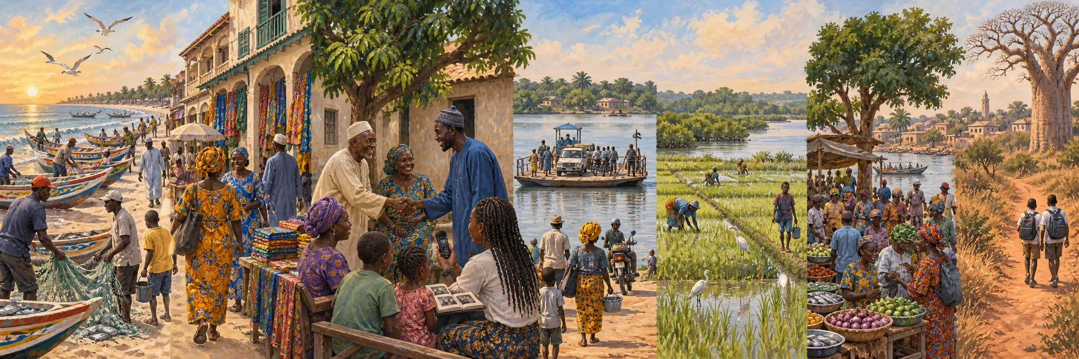
Gathering what this circle has shared so far.
Chapter 01
1996 site record
Baobolon's six creeks
The Gambia's Ramsar information sheet describes six major bolons between Salikeni and Katchang, linking tidal estuaries, mangrove forest, saltmarsh and savanna. Its roughly 20,000 hectares were designated in 1996.
Local dyking retained rainy-season fresh water for rice, while creeks and mangroves supplied fish and materials. Those documented uses show a managed landscape, although a 1996 survey cannot certify conditions three decades later.
A familiar name, a remembered voice. What would you add to the story of Baobolon Wetland Reserve?
Add your memoryChapter 02
1996-2013 evidence
Katchang at the wetland edge
Katchang is one of the villages used to locate the Baobolon wetland in the 1996 Ramsar information sheet. The source describes a working landscape of rice retention, fishing and material gathering across the wider wetland, not one village's exclusive practices.
The 2013 census directory separately enumerates Katchang as a settlement in the North Bank area. This confirms a named census place but supplies no household-level oral history or founding narrative.
Terranga. There is room for you here.
What does Baobolon Wetland Reserve
mean to you?
A name you remember. A photograph in a drawer. A voice you want the next generation to hear. You do not need a complete history to add something meaningful.
From nearby or far away, in the language that feels like home. New contributions are reviewed with care before they appear.
A place at the table
The Baobolon Wetland Reserve guest book
A greeting from afar. A familiar corner. Someone you remember.
Words from the circle
Community memories and greetings, not independently verified historical findings.
Opening the guest book...