
Upper River · town
Basse Santa Su
Also recorded as Basse, Basse Santasu
An Upper River administrative and commercial town, historically a transit centre toward eastern Senegal, Guinea and Mali.
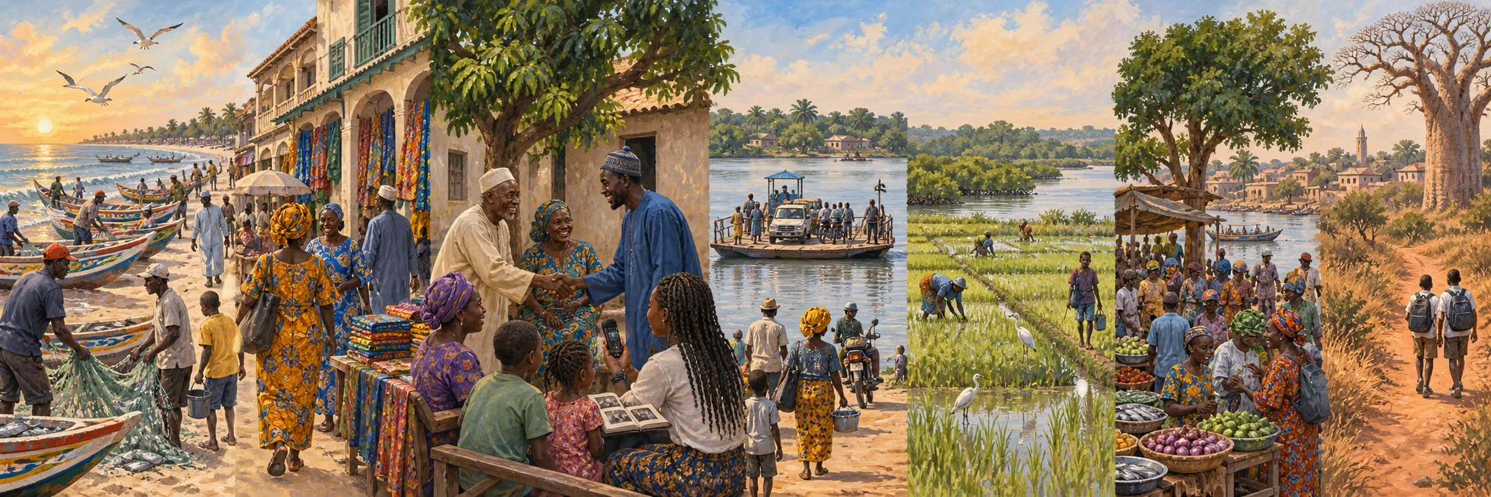
Gathering what this circle has shared so far.
Chapter 01
1927 onward
Armitage and a ‘sons of chiefs’ shorthand
Ceesay says Armitage was not exclusively for sons of chiefs, though chiefs sent children there. Patronage by prominent families was not an admissions rule.
A familiar name, a remembered voice. What would you add to the story of Basse Santa Su?
Add your memoryChapter 02
Present-day operations
A working ferry network along the middle and upper river
The Gambia Ferry Services Company, a subsidiary of the Gambia Ports Authority formed under the Companies Act 2013, operates eight crossing points along the river and its tributaries. Alongside the Banjul-Barra crossing at the river mouth and the former TransGambia crossing at Farafenni-Soma, its own list names Janjanbureh, linking Lamin Koto on the north bank to the island formerly called MacCarthy Island, together with crossings at Kaur, Barajally, Bansang, Basse and Fatoto.
The company describes Banjul-Barra as its busiest crossing, running close to continuously, and states that the TransGambia route was historically its second-busiest until the Senegambia Bridge opened in 2019, after which the company took on toll-collection management for the bridge itself. Its stated mission is to connect people and places across the river and its tributaries, a role that for Janjanbureh, Kaur, Bansang, Basse and Fatoto continues a much older pattern of river crossings touched on elsewhere in this archive's colonial-era travel sources.
Sourced media: A working ferry network along the middle and upper river
The Janjanbureh-Lamin Koto ferry crossing
A 2009 photograph from the Janjanbureh-Lamin Koto ferry crossing.
Niels Broekzitter. CC BY 2.0 · Source: File: Gambia & Senegal 2009 (3686635617).jpg
Chapter 03
1938
Basse as an Upper River seat in 1938
The 1938 annual report identifies Basse as the headquarters of Upper River Province and one of the protectorate's important river ports. Its district list places the town within a wider administrative geography of Wuli, Kantora, Sandu and Fuladu East. The report gives an institutional position, not a founding account or a statement about the town's present economy.
The same report notes that river craft of different draft reached different upriver limits and that water levels changed with the rains. That seasonal geography helps explain why an administrative seat could also be a river-transport centre in the 1930s. The colonial report's ethnic categories and attitudes toward local practice are not used to describe Basse residents today.
Chapter 04
Historical dictionary 2008; market proposal 2020
Basse Santa Su and the upper river routes
Hughes and Perfect's historical dictionary identifies Basse Santa Su as the administrative capital and commercial centre of the former Upper River Division. It describes Basse as a transit point for goods moving toward eastern Senegal, Guinea and Mali. This is a town role in a wider river and overland network, not a population count for all Upper River.
The dictionary records an estimated town population of 18,000 in 2003, an older estimate rather than a current figure. Its adjacent Barrakunda entry locates an earlier English trading post farther upstream where dry-season river navigation met a limit. Those are distinct places and phases within the upper-river trading landscape.
At a 2020 Basse market foundation-stone ceremony, the government described a planned main-market project and named the Basse Area Council, governor's office, alkalo and vendors as stakeholders. The speech establishes that an important market renewal was proposed in that moment; it does not certify its later completion or present condition.
Chapter 05
Present-day, with roots the source attributes to the historic Jolof Empire
Benachin, one pot under pressure
Benachin, meaning one pot in Wolof, cooks rice, vegetables and a protein, most often sardinella, together in a single pot. A 2025 account of the dish traces the culinary lineage commonly associated with it back to the historic Jolof Empire, and describes it, in one chef's words, as a dish that 'can't be left out of any cultural occasion' across Gambia and Senegal alike.
The same account documents a present-day threat to the dish's usual ingredients: industrial overfishing of sardinella across West Africa, rising sea temperatures, and sardinella prices that the reporting describes rising roughly fivefold over seven years. Some households have substituted imported frozen chicken as the traditional fish becomes costlier, a change to a national dish driven by pressure on the fishery rather than by taste.
Chapter 06
Pre-colonial daara tradition; unified curriculum from 1996; 2003-04 enrolment recorded
From daara to a national Islamic-school curriculum
Traditional daara and maglis schools taught the Quran and Islamic practice long before, and largely outside, the colonial and early post-colonial education system, and are described as having played a critical role in basic-education access despite that marginal status.
In 1996 the government created a General Secretariat for Islamic and Arabic Education inside the Ministry of Education and introduced a unified curriculum across public and Islamic schools, adding Arabic, English, local languages, mathematics, science, history, geography and vocational subjects alongside religious instruction. By the 2003-04 school year, roughly 162 madrassas were enrolling 55,685 learners nationally, 28,234 boys and 21,859 girls, about a fifth of all school-age children, concentrated in low-income rural and urban communities.
Chapter 07
1848-1986
Groundnuts from migrant field to Banjul wharf
Commercial groundnut cultivation along the Gambia River drew local and long-distance migrant farmers from the mid-nineteenth century. A historian's study of 1848 to 1895 describes migrants who at first paid a customary fee to local rulers for the right to farm, then moved into labour-sharing arrangements with host farmers as domestic slavery declined. This became known as the Strange Farmer system, and it supplied the extra seasonal labour that low-population farming areas needed to grow the crop for market.
Brikama's own documented history of migration, host-guest farming relationships and ward-level organisation, already part of this archive through a separate twentieth-century study of Senegalese migrants, sits inside that same wider Strange Farmer economy. Upper River towns such as Basse, long recorded as a transit centre toward the interior, occupied a comparable position within river-borne groundnut commerce. This entry does not claim a specific documented Strange Farmer settlement at either town, only that both sat within the same regional system Swindell describes.
At the river's mouth, the crop reached Banjul's processing and export point. Oyster Creek, beside the modern Denton Bridge, completed in 1986 and named for a former governor, Sir George Chardin Denton, still holds peanut-processing warehouses and a factory, a working trace of the export chain's Banjul end.
Terranga. There is room for you here.
What does Basse Santa Su
mean to you?
A name you remember. A photograph in a drawer. A voice you want the next generation to hear. You do not need a complete history to add something meaningful.
From nearby or far away, in the language that feels like home. New contributions are reviewed with care before they appear.
A place at the table
The Basse Santa Su guest book
A greeting from afar. A familiar corner. Someone you remember.
Words from the circle
Community memories and greetings, not independently verified historical findings.
Opening the guest book...