hamanteh.

A city is never finished.

Banjul, through time.

Streets, work, homes and belonging. A sourced timeline of a changing city, with Banjul-wide context distinguished from neighbourhood history.

Pictures from the record

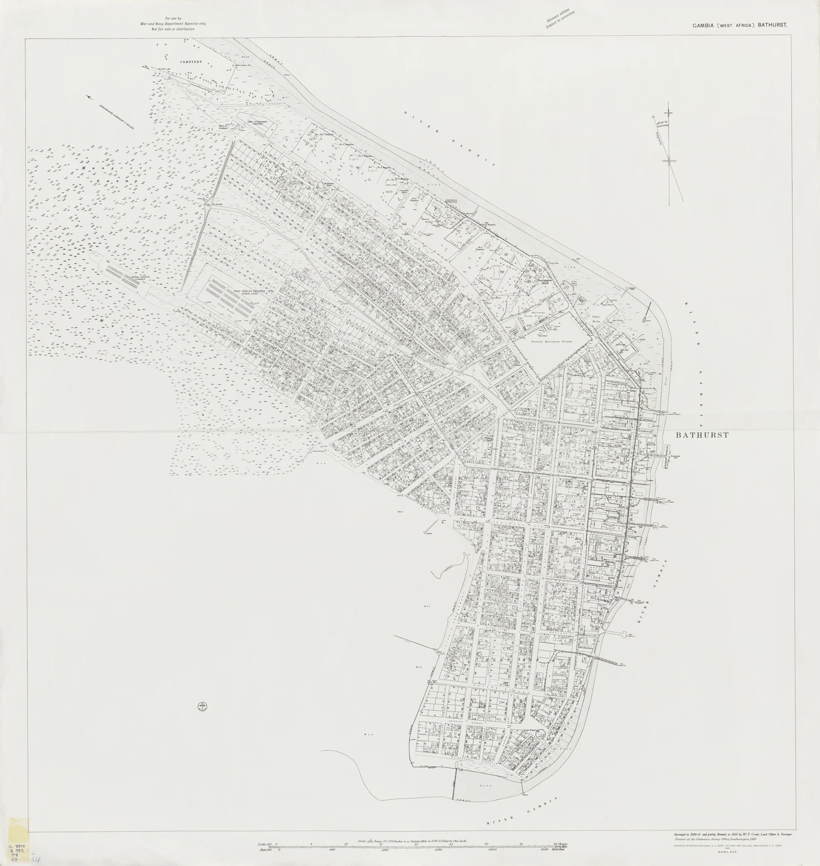
Black-and-white historical plan showing Bathurst's dense street grid and shoreline on St Mary's Island.

Surveyed 1910-11, revised 1918

Bathurst town plan

A detailed plan of Bathurst surveyed in 1910-11, partly revised in 1918, and reprinted in 1941. It records the historic street grid, shoreline, public buildings, and named sites. Today's neighbourhood boundaries may differ from those shown or implied here.

Survey and revision attributed to W. F. Crook; reprinted by Engineer Reproduction Plant, U.S. Army War College. Display copy resized and compressed; full original linked below.

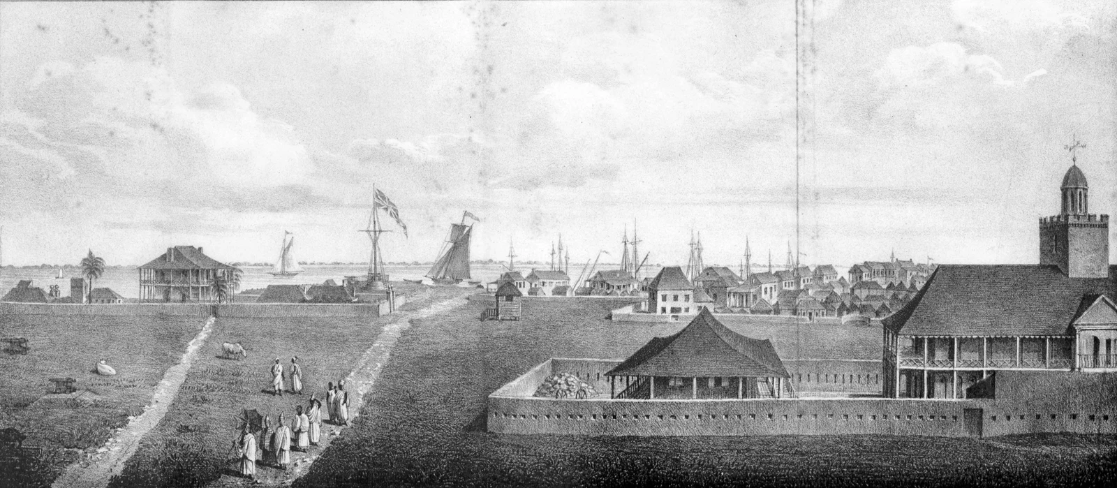
Wide engraved view of early Bathurst with low buildings, paths, people, boats, and a tower near the waterfront.

1824

Early view of Bathurst

A published 1824 view of Bathurst attributed to S. Bowdich. It shows an early waterfront settlement and is best read as a composed historical view, not a survey drawing.

S. Bowdich. Display copy resized and compressed; full original linked below.

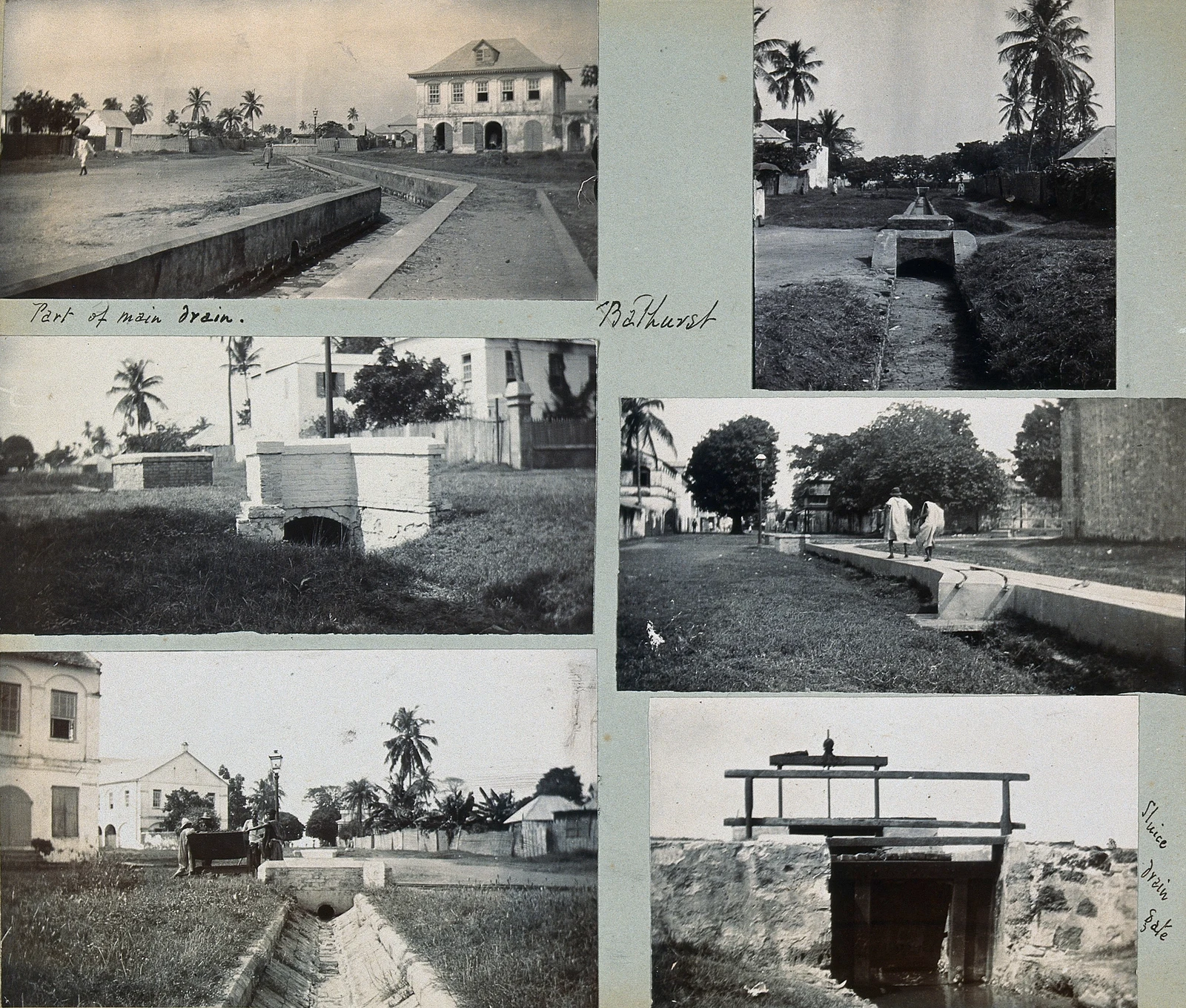
Mounted sheet of six black-and-white photographs showing open street drains and drainage structures in Bathurst.

Circa 1911

Street drainage in Bathurst

A group of photographs documenting open drains in Bathurst around 1911. The source does not identify the streets or quarters, so their locations within the city remain unknown.

Photographer not identified; Wellcome Collection. Display copy resized and compressed; full original linked below.

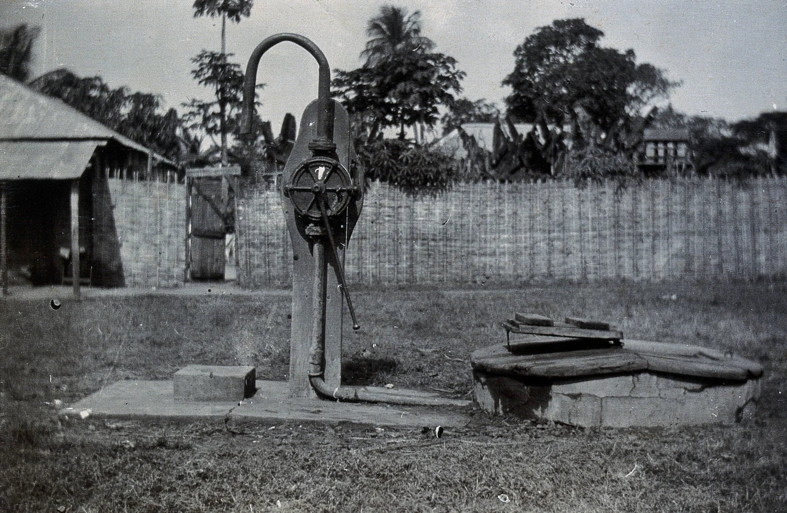
Black-and-white photograph of a hand pump and low well platform beside woven fencing in Bathurst.

Circa 1911

Public street well in Bathurst

A public-use well photographed in a Bathurst street around 1911. Woven fencing and buildings appear behind the pump. The street and neighbourhood are not identified in the record.

Photographer not identified; Wellcome Collection. Display copy resized and compressed; full original linked below.

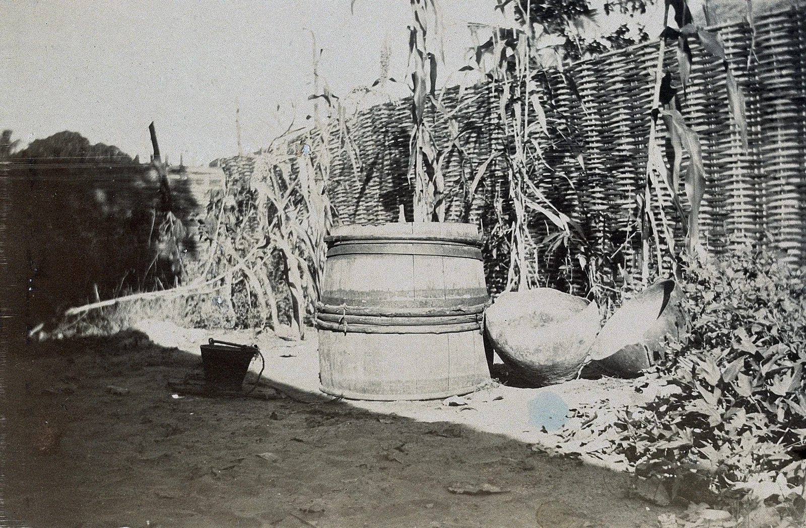
Black-and-white photograph of a wooden barrel adapted as a well beside woven fencing and household vessels.

Circa 1911

Barrel well in Bathurst

A water well made from a barrel, photographed in Bathurst around 1911. The image is useful for discussing everyday material ingenuity and access to water, but its precise location is unknown.

Photographer not identified; Wellcome Collection. Display copy resized and compressed; full original linked below.

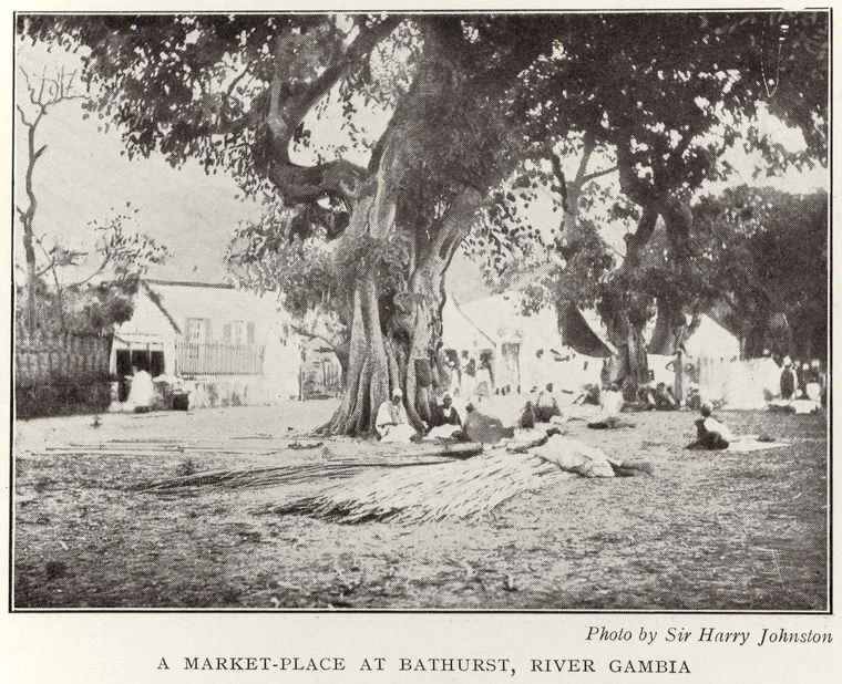
Black-and-white photograph of people and goods gathered beneath large trees in a Bathurst marketplace.

1910

A marketplace in Bathurst

A Bathurst marketplace photographed in 1910 and attributed to Sir Harry Hamilton Johnston. The source names neither the market nor its exact position, and no present location has yet been verified.

Sir Harry Hamilton Johnston. Display copy resized and compressed; full original linked below.

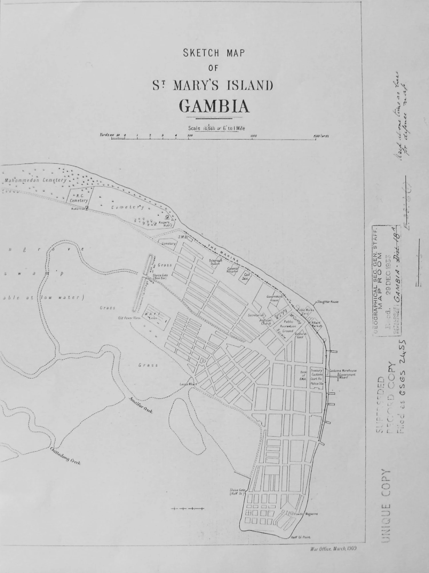
Vertical black-and-white 1909 sketch map of St Mary's Island with Bathurst's street grid at the island's eastern end.

March 1909

Sketch map of St Mary's Island

A War Office sketch map of St Mary's Island dated March 1909. It shows Bathurst, roads, shoreline, marsh, and transport features. Its historical labels may differ from modern place names and boundaries.

War Office; perspective correction and colour adjustment by Commons user Majo statt Senf. Display copy resized and compressed; full original linked below.